Latest News

February 12, 2018

The Application of Drones for Pipeline Inspection

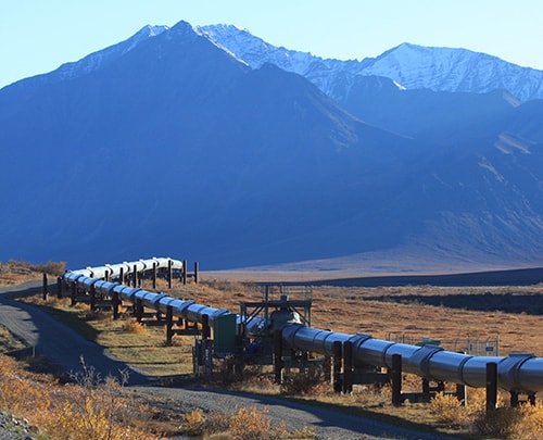
In our world today, Pipeline companies are highly faced with ever-increasing regulatory and operating pressures. The increase in government regulation on pipelines has resulted into the springing up of several technological innovations like the use of drones for pipeline inspection , Remote video , and remote NDT pipeline inspection, all these to make inspection on pipeline faster and easier. Since pipeline operators need access to analyse signs of metallic loss, corrosion on pipes and other defects to efficiently detect the problems and ensure safety, new regulations are proposed or introduced each year that require mapping, facility inventories, pipe inspections, environmental reporting, and public safety. What You Need To Know About Pipeline Inspection Pipeline Inspection- This is commonly known as a technique used in checking the functionality of natural gas transmission pipelines either from the inside or outside of the engineering pipe or pipe plants. Since pipeline are popularly used in transporting energy like gas in a long distance, it is essential to carry out frequent inspection and maintenance otherwise; pipes are prone to failure. And failures on pipelines can lead to a dangerous effect on any plant or human around the place of occurrence. Why inspection should be carried out […]
September 29, 2017

We Can’t Do Without Them: Drones Have Taken Over Different Sectors In Aerial Photography Australia

Drones have taken over aerial photography Australia, completely revolutionizing the way things are done. Major processes in different industries and sectors are now turning to drones to aid in their processes. From aerial mapping and infrastructure survey photography to environmental compliance monitoring photography, disaster management, and recovery aerial photography, to rural land real estate photography, the list goes on and on. Professional aerial drone photography service providers in Australia use the most advanced drones with high-resolution photography cameras and excellent flight features to offer clients the best quality image data. CASA licensing is mandatory for commercial operation of drones in Australia. Below are details of some of the sectors where drone photography services are offered: 3D Aerial Models and Aerial Mapping Photography Using drone photography, surveyors can get 3D models of property, land contour maps for water and drainage management, volumetric estimates, linear and area measurements. Golf course managers can develop app-based geo-tagged green maps and fairways using drone aerial image data, which can be viewed by members through their phones and tablets, eliminating the need for paper maps. Aerial image data captured using drones is much more efficient, cheap, and safe for project management of places such as construction […]
September 29, 2017

The Role And Contribution Of Drone Gold Coast Disaster Analysis And Management

On the downside, drones have been associated with privacy invasion and several quarters have challenged their use and effectiveness from this point of view. Even so, drones have a massive positive impact to the community at large. One such positive contribution is in disaster management. The integration of drone Gold Coast disaster management will greatly boost the disaster handling process. When catastrophe strikes, destruction is inevitable and the prevailing circumstances and conditions surrounding the affected site can sometimes be difficult and risky for disaster management personnel to effectively access and maneuver through. Drones, however, come in handy to solve this problem. The Gold Coast has various factories and power plants where the risk of poisonous gases and nuclear material being emitted to the atmosphere in the event of unpredicted catastrophes is quite high. Assessing such hazardous events need to be done speedily since the risk of human harm upon exposure to these dangerous gases is quite high. Deploying drones fitted with chemical sensors in such disasters to quickly assess the level of gas and nuclear material emission to the atmosphere comes in handy and will be quite resourceful in determining how widespread radioactive contamination might have taken place. Experts can […]