Drone Asset Inspections Services Brisbane, Gold Coast
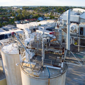
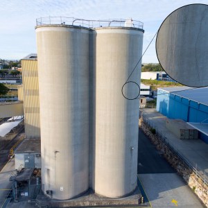
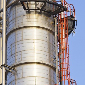
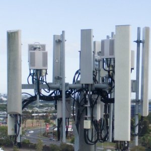
Droneworxs Aerial Photography Drone Asset Inspections , Drone Inspection services are designed for inspecting hazardous and difficult to access assets and structures.
We can inspect the following:
Drone Wind Turbine Blade Inspection
One advantage of the plant & asset inspections service that we provide is that it causes no disruption to operations, we only require a few square meters for launch and retrieval – often working from the perimeter of customer sites.
Droneworxs Aerial photography remote piloted aircraft is precision controlled and is light weight in construction so we can operate up close to subjects gaining a better view without compromising property or your safety. Our ability to conduct such highly detailed asset inspections from the air is unique – providing a safer, more cost effective and timely outcome for our customers.
Our equipment is small and lightweight and can be transported anywhere at short notice.
Our remote piloted aircraft transmits a live video feed to our base station monitor which allows our customers to see what the camera sees in real time. This enables qualified personnel to make informed decisions based on live imagery and data. The high resolution data stored on our remote piloted aircraft can then be viewed in greater detail on the ground and then used in reports.
The safety of all employees in any situation is the most important consideration. Our Remote Piloted Aircraft can be sent in to do the dangerous and risky inspection tasks that would otherwise have to be done by a person. This removes the possibility of someone being injured or killed in high risk situations.
Droneworxs Aerial Photography – asset inspections service offers four major advantages to plant managers:
It is much safer (no personnel need to work at heights)
It’s much quicker (what takes a crane a week to do we can often accomplish in a day)
It’s more convenient and causes no disruption to site operations
Typically, with less time comes significantly less cost.
Droneworxs Aerial photography Asset Inspection portal
DELIVER BETTER SURVEYS AND INSPECTIONS
Measure surveys in 3D, calculating volumes, distances and grades with only a few clicks.
Create inspections that let you navigate in 3D, zoom in for a closer look, and create annotations they can export as a PDF report.
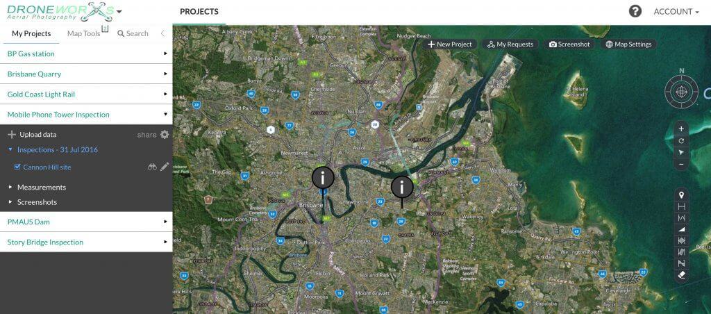
MAKE DRONEWORXS INSPECTION PORTAL A PART OF YOUR TOOLKIT
Upload processed geoTIFFS to Propeller and sharing measurable 3D maps straight away.
Upload files from other mapping services (WMS) and import vector data (KML/KMZGeojson/SHP).
Export your data as JPEG, TIFF, DXF and LAZ files for use with other applications.
GET YOUR PROJECTS INTO THE RIGHT HANDS
Sharing projects on the Droneworxs Portal is simple and secure.
Manage client or team access and permissions with a few clicks.
Our in-browser interface is easy to use for non-technical decision maker and useful for industry experts.

