How to Start Shooting Your Own Aerial Photography
June 27, 2017How To Start Your Own Commercial Drone Photography Business
June 29, 2017
 With all of the great uses for drones, one new application is using drones for mapping and surveying. It makes sense when you think about how cheaply and quickly the drones can finish these jobs. Let’s look at this topic that is an up and coming use of drones.
What Are Drone Mapping Services?
Mapping services are commonly referred to as surveying, which is essentially examining and recording the features of land to construct a map. People have been doing this job for thousands of years, and as times have changed so has the technology.
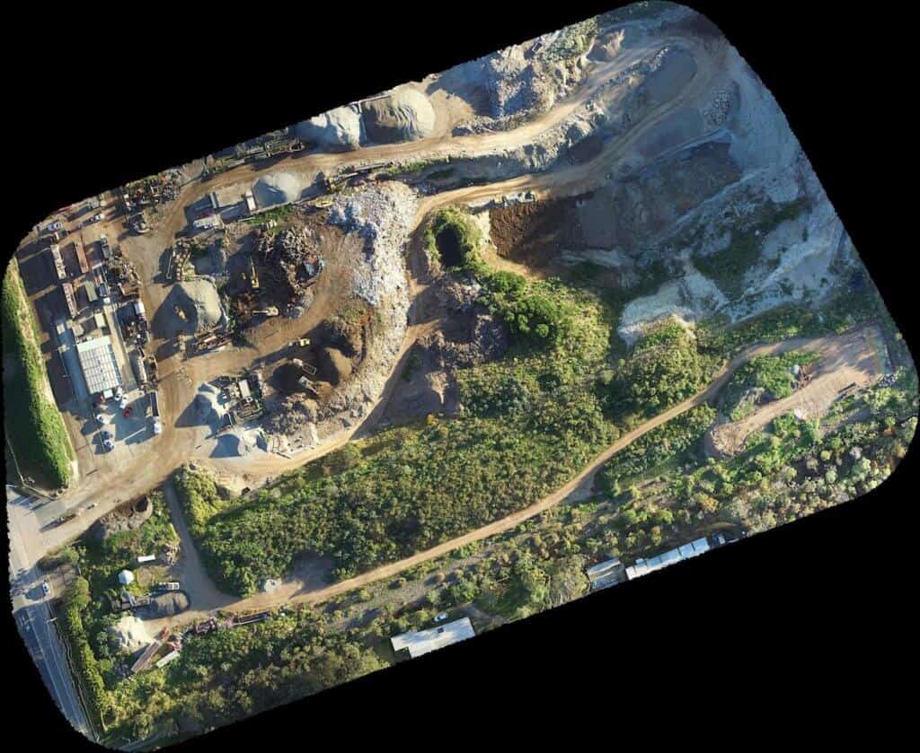
Drones are the newest change in the technology of surveying. Drones can simply fly over pieces of land, and create extremely precise maps in high definition. It can be done so quickly as the drones can be taking in the information while simultaneously sending the data back to a computer. Also, being able to travel to places that were once impossible is another great benefit of using these drones.
How They Work
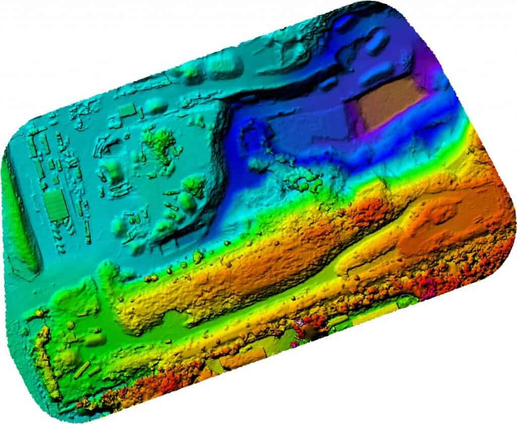
As you may have guessed, photography and video are used extensively in drones for the purpose of surveying. A tool that it also uses that you may not have heard of is a LIDAR, which stands for Light Detection and Ranging. How it works is a little complicated, but basically, it uses laser lights and pulses to measure distances. It’s been used in surveying for decades. Now with it being implemented on drones, it is making them that much better of an option for mapping. They also use advanced 3D laser scanners to help measure depths.
In modern days with all of the software and programs, all the humans have to do is fly the drone over whatever area of land they need to be modeled and the drone will do the rest. It sends all of the data back to a computer where people can further utilize the data collected.
Data Collection
The amount of data they can collect is astounding and the biggest benefit of using drone mapping services. The capabilities are fairly technical and ones only a surveyor could properly describe, but it is really just a matter of hooking the right software and hardware up to these drones.
The drones used for surveying are usually bulky, weighing in excess of 50 pounds, so they can carry a lot of important equipment for whatever job is needed. An entire map can be created with just a drone and a computer.
What It Means for the Future
Drones being used for this has been met with some backlash, especially from surveyors. The reason is that these drones are simply too good. If this technology is used for surveying on a large scale, it could very well displace a lot of surveyors from their jobs.
This is a new use of drones with only a few companies doing it, so the results on the jobs aren’t being seen yet. However, it will definitely be interesting to see what happens when this becomes much more of a common use for drones.
