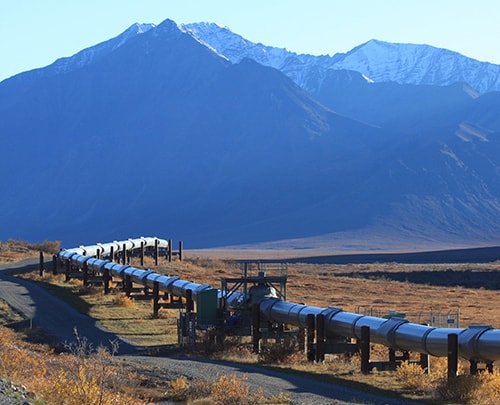
The Application of Drones for Pipeline Inspection
February 12, 2018
Things You Need To Know About Drone Mapping Services
February 16, 2018In our world today, Drone technology is advancing at a rapid stage. And Depending on certain functions, specific types of drones used for different purposes like the Aerial Survey drones, mapping drones, and agricultural drones is introduced into the market almost every day. With this drones highly equipped with numerous amazing features such as mobile apps and software applications that allow users to easily control their various function and specific tools that make it more exciting and highly productive. Using these drones comes with so many benefits that one can never imagine, because when used either for mapping, inspection, photography and so much more, it helps get the job done faster and promptly.
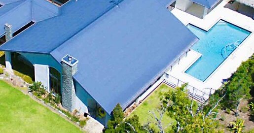
Searching the internet for drones, you might have come across thousands of lovely pictures of homes and aerial view of an area. These are some significant advantages of using an aerial survey drone. Follow me in these articles as I unveil to you important things you need to know about an Aerial Survey drones. But before we move on is best you know more about aerial surveying.
What You Need To Know About Aerial Surveying
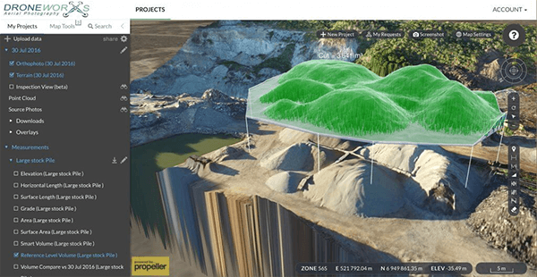
Aerial Surveying is highly essential when carrying out essential activities like mapping, Land surveying, urban planning and land management, construction and earthworks. It is also important to note that aerial survey involves the creation of three-dimensional maps through precise measurements and location, in contrast to aerial photography, which does not contain the same level of details or data. Aerial Surveying is often preferred because they allow the collection of data from a wide range in a short period. The main benefit of aerial surveying is that they are unobtrusive, and do not require setting foot on the actual terrain. And you should know that the digital data collected with the use of this method are highly beneficial for engineers, geologists, surveyors, city planners and many others professionals who need a precise mapping of an area.
Aerial Survey process: The Importance of Using an Aerial Survey Drones
In the past, Surveying with the use of traditional method has always results in high surveying cost and also lengthy surveying process. But today, with the introduction of Aerial survey drones, surveying process has become easier and faster offering high productivities. Many companies that offer surveying services are now implementing the use of drones for aerial surveying to produce high accuracy and also lessened the duration of surveying process.
I hope this article has helped in providing great understanding about Aerial Surveying and the use of aerial survey drone.


