Utilise the latest Technology D-RTK (Real Time Kinematic ) Plus our Mapping Portal
Utilising our specialised UAV combined with D- RTK,the latest technology in Australia we are able to provide a revolutionary new way to map out locations for our clients in a safe and accurate way and can be applicable for mining, industrial and government industries. We specialise in the provision of high resolution aerial survey and spatial solutions. Working as a seamless integrated team, we understand the need for reliable, timely survey data to enhance productivity or for determining precise geographical location. When using Droneworxs we provide a link to our portal so your team can access your maps.
Droneworxs Surveys are a cost-effective alternative to conventional aerial surveys as well as mapping, so whether it be simple oblique photography, complete or more complex 3D modelling required, we will capture and process your data accurately, efficiently and cost-effectively.
Range of UAV/Drone applications:
Aerial mapping drone
Drone-based land cover classification and mapping
Mapping and surveying of land and infrastructure environments
Suitable for small and medium scale areas
Mines, gravel pits, construction sites and remote working
Land surveying for site plans, status plans and documentation of construction progress
Surveying and mapping for cartography, orthophotography, topography, cadastral surveys and urban and regional development
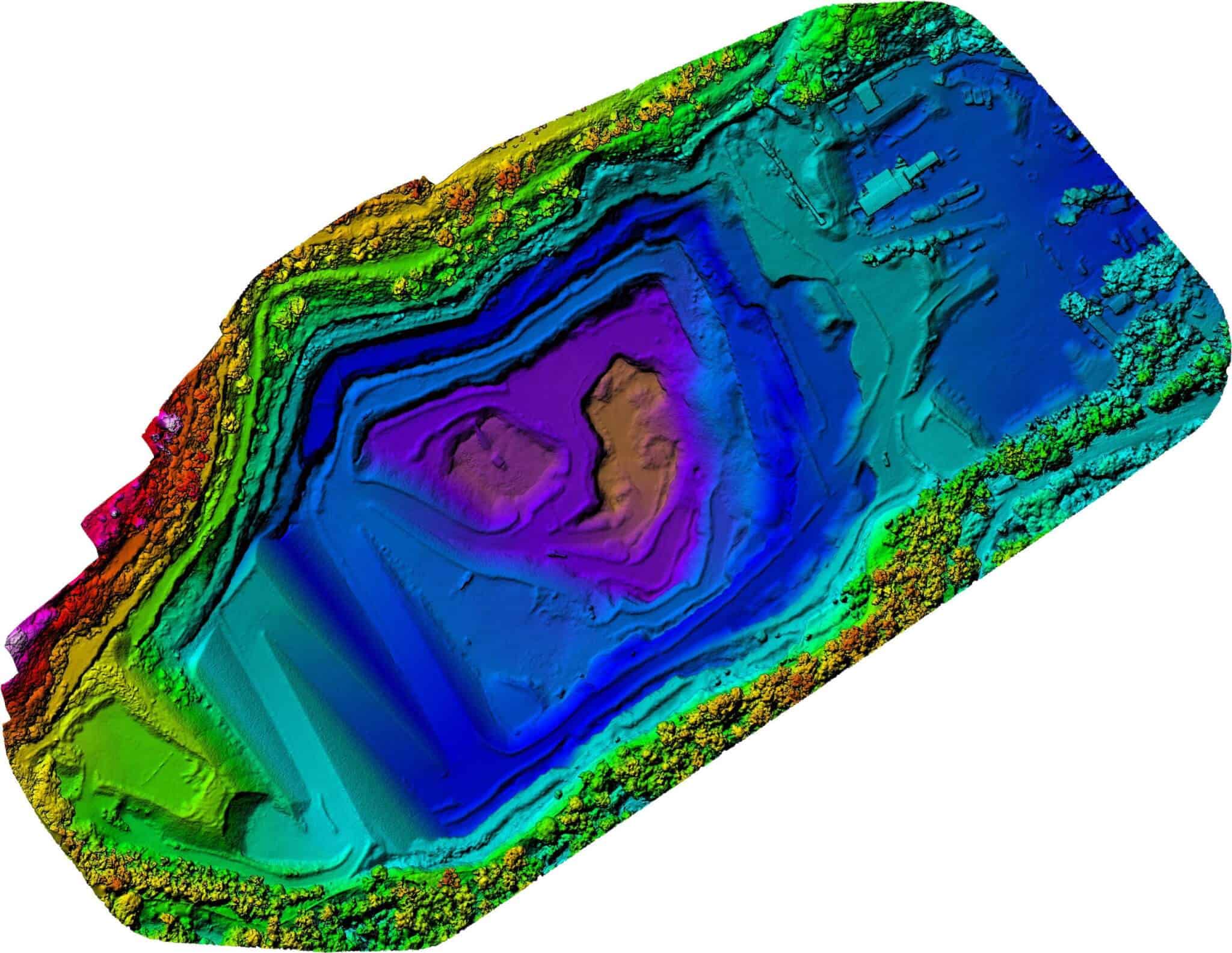
Drone-based surveying and measurements of objects and areas to create point clouds, digital terrain modelling (DTM), digital elevation modelling (DEM) and volumetric analysis
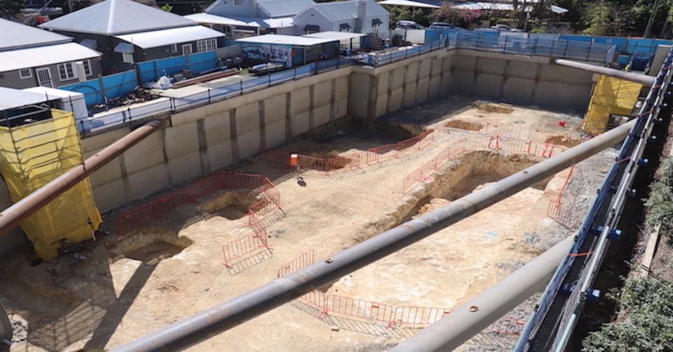
Inspection and survey of land, embankments, dams and retaining walls
Archeological surveys and excavation monitoring
Geo information system applications (GIS)
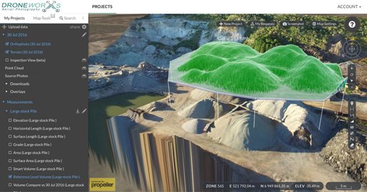
Droneworxs Mapping Portal
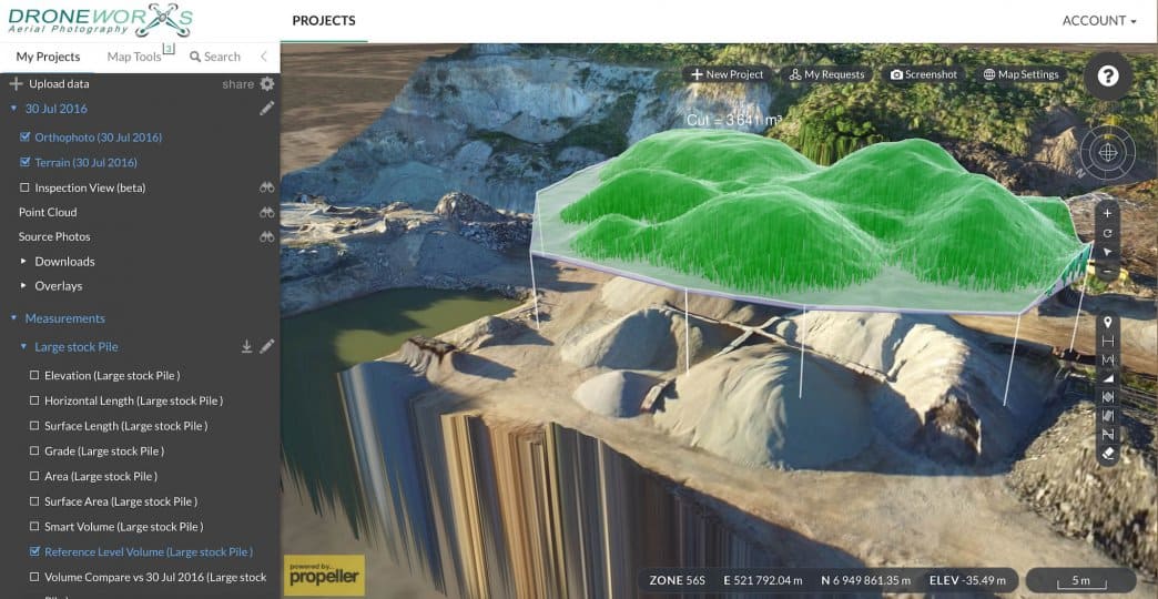
Quarry Stockpiles
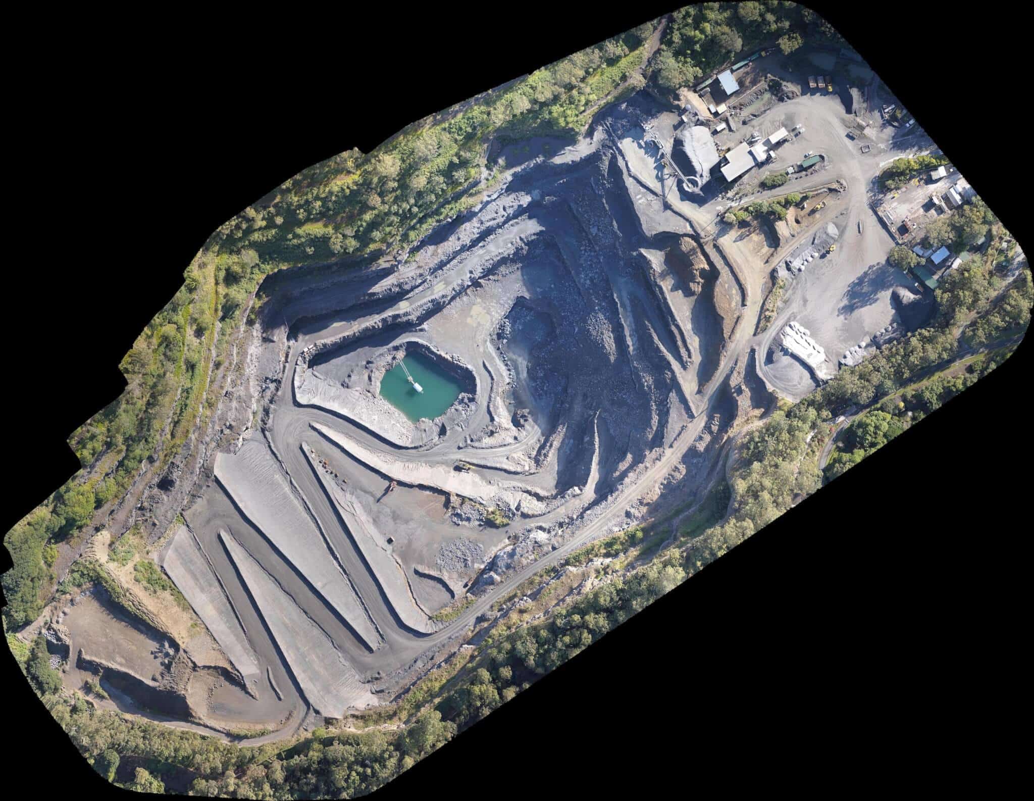
Orthomosaic Quarry photo

![]()
D.E.M Digital Elevation Model


