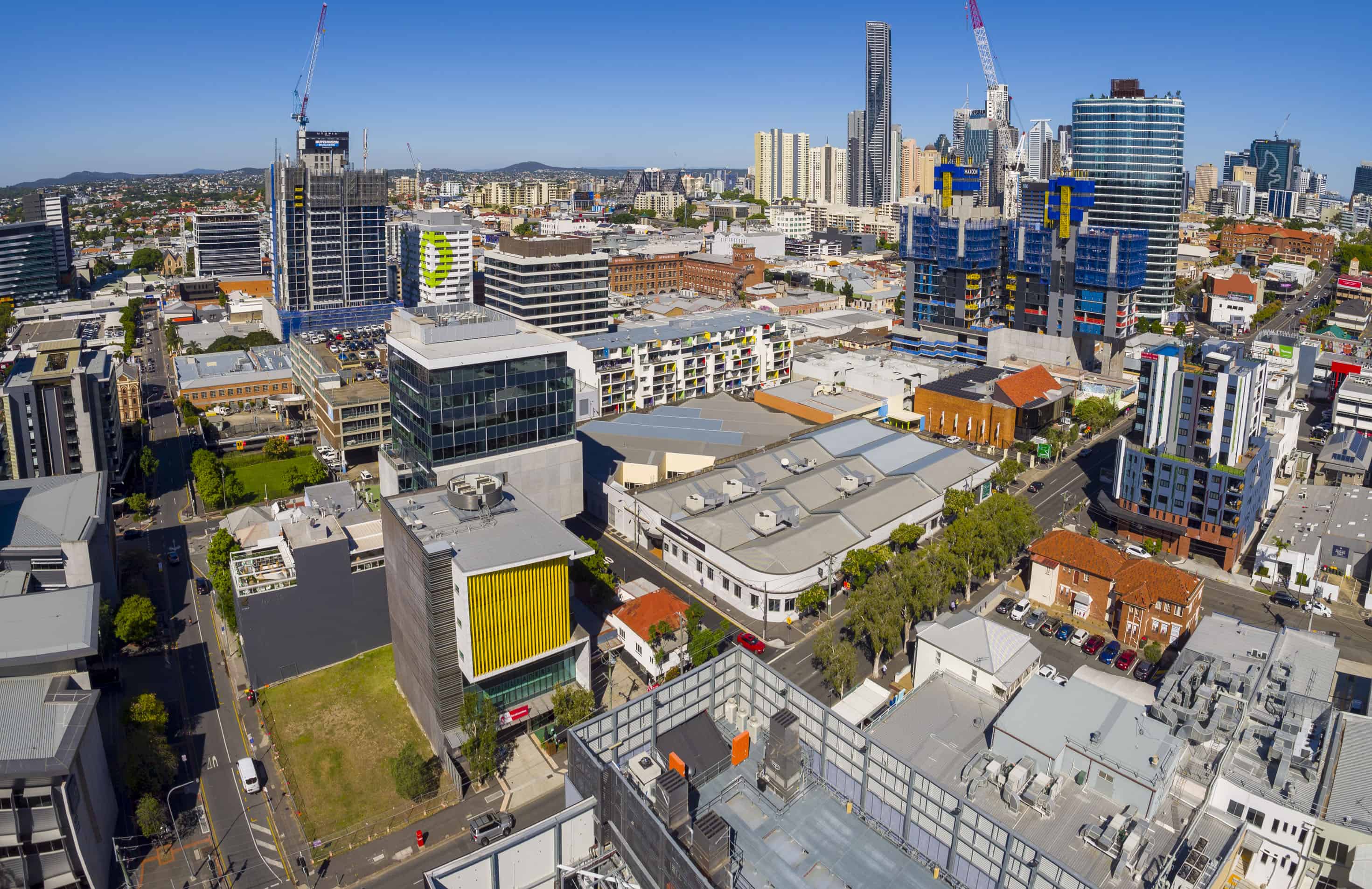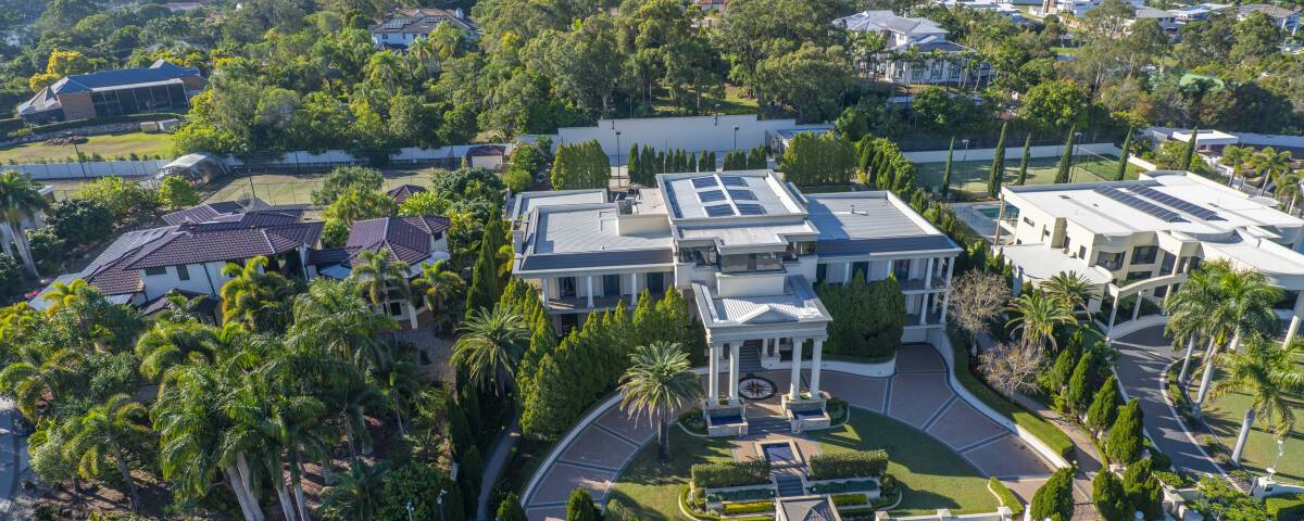
Utilising Drones for Photography in Brisbane
September 5, 2019Think of those landmark footages and vistas in Hollywood movies – the ones where you’d see the full height of a glorious mountain and enchanting plains. Aerial drone photography made that possible!
If you were to have such footages done manually, you would need tons of men who would capture the sweeping landscape from different angles, helicopters or planes, plus several hours of endless shooting.
However, aerial drone photography only needs an unmanned aerial vehicle, a piece of camera equipment mounted on the machine and an expert controlling the remote from the ground.
And guess what? Drone technology is rapidly taking over the whole world and almost every industry – business, photography, film making, construction and many more.
You might be thinking of getting one out of sheer curiosity but we think you deserve to know about this technology and if it is for you.
Getting started
You don’t just purchase a drone and start flying. No you have to be trained in flying, own a license and check the law of your locality concerning drones. In some countries like the United States, your drone mustn’t go beyond 400 feet from the ground. In some states, your drone must not be flown over another person’s property as it would be considered as ‘trespassing.’
After checking with the law, you have to spend time researching quality drones that meet your needs. Some drones are controlled via smartphone, others are via remote, some drones are quite expensive come with a quality camera, long-lasting batteries and many more items. What you want depends on your budget.
There is other equipment too like real-time video transmitter, which is useful in helping you see what your drone is transmitting directly from the ground.
Aerial Drone Photography
Using a drone for aerial photography, you have to understand what you need. You need to think about your footages, safety, and all of the resources at your disposal.
For aerial drone photography, a camera with a short lens is preferable. If you use a long-lens camera, your images or footages might come unclear and of low quality as the wind would toss your drone about.
Professionals are always in need of the sharpest drone images and hence there is a need to invest in some of the fastest, fixed-focal zoom lenses that money can buy. However, there are situations where you need a long lens.
For most aerial photographers, haze is often a big issue. This can be solved easily by setting a ‘high contrast’ on your camera and checking the histogram. If you intend to shoot a black and white video, using a red filter is recommendable.
Safety is another big point for aerial drone photography. Being up there in an aircraft just so you can get the right image from the right angle might mean much danger. While you might not get a safe angle to have the shoot you desire, you also risk falling from the aircraft if things go wrong. However, with drones, you can stand on a safe place from the ground and position your drone at whatever angle you want and still get high-quality pictures of your taste.
So Who Is Aerial Drone Photography For?
Professional photographers who aim at getting irregular footages can achieve this through aerial drone photography. Take a simple example of a wedding. As a photographer, you are asked to cover a wedding. You can get better coverage when you fly your drone over the arena, capturing interesting images and videos, and all at different angles. You have a ‘wider eye’ with UAVs than without.
In the construction industry, on-site risk can be identified and reduced with the help of drones. The technology has helped project supervisors and construction managers to be able to manage more resources with less energy.
The insurance industry is not left out. Risk assessments, property assessment, and claims management are all optimised with the aerial intelligence of drones.
The monitoring of the right-of-ways in the energy sector has never been made easier, thanks to drones. The normal inspection processes that we used to know have gradually been replaced by aerial drone photography. Pipelines and power plants are dangerous to inspect manually, however, with aerial intelligence the dangers have been eliminated plus the inspection becomes more efficient.
Even in agriculture, farm managers make better decisions about their farm management with the aid of drones. When these drones are paired with suitable software, they can take intricate measurements like the farmland performance, plant height, and numbers, yield prediction, water pooling and many more. Farmers can also monitor how they allocate materials to these plants or animals with data gotten from aerial drone photography – like feed volume, fertiliser, water, and others.
Finally
Aerial drone photography cuts across many industries and has come to stay that is why we at www.droneworxs.com.au have dedicated our time to help you understand what you stand to gain from embracing this technology as well as helping you get started.

