The Future of Commercial UAVs
January 29, 2018
Improving Efficiency with Drone Flare Inspections
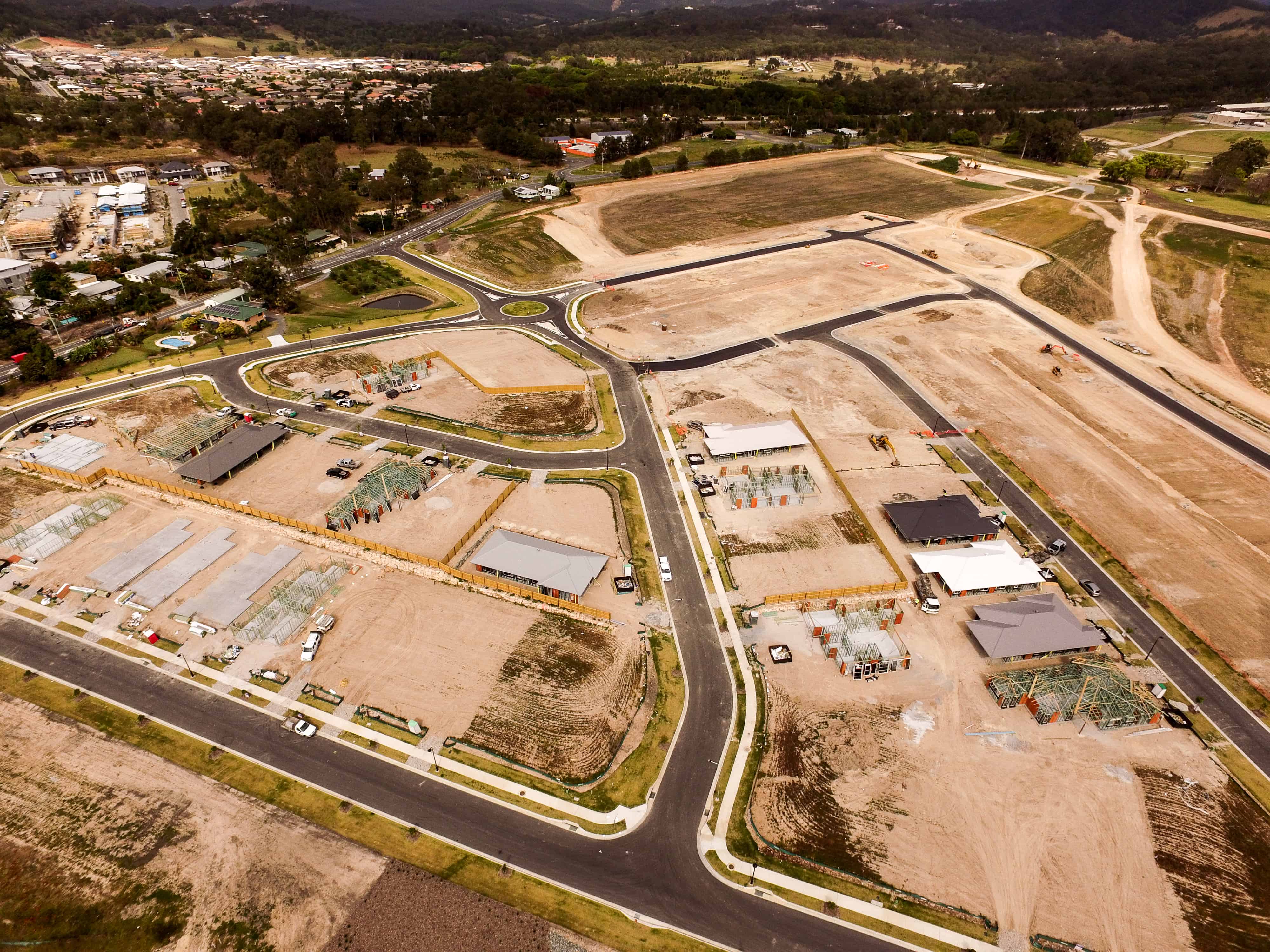
February 9, 2018Drones are revolutionising the aerial mapping industry with their ability to accurately capture a huge amount of data efficiently and with ease. Rather than having to rely on aircraft, UAVs provide a portable, manoeuvrable alternative that is not only cheaper but provides higher resolution photography too.
So, how does mapping with drones work?
How Drone Mapping Works
Drones use a technique called photogrammetry to take measurements from photographs. Throughout the flight – the path of which is pre-programmed to ensure complete coverage of the required area – the drone takes a photograph every few seconds. When all the photos have been taken, the mapping software automatically stitches them all together, creating a complete map of the area.
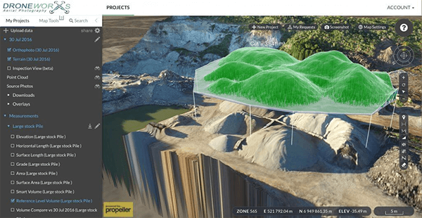
These measurements are highly accurate and so can be reliably transferred to the blueprint of a building, for example. Aerial mapping allows you to survey a specific area or landscape and produce a complex map, from which we can take measurements, calculate volumes and create models for use in architecture, surveying, mining and many other industries.
Other Benefits to Drone Mapping
In addition to the processing of complex data, mapping with drones has other practical benefits. There is practically no manual labour involved so the mapping is faster and safer. UAVs also fly under the cloud barrier, so the weather doesn’t have to be perfect to get a high quality result.
If you’re looking for a professional drone company in Brisbane that has plenty of experience under their belts, get in touch with Droneworxs. We have worked with a wide number of clients to produce a diverse collection of maps and 3D models, a sample of which you can view on our What We Do page. To find out more about our drone mapping services and how they can benefit your business, call us today on +61 488 033 938.

