How 360° Panoramas can Showcase Your Business and Raise Income
September 20, 2018
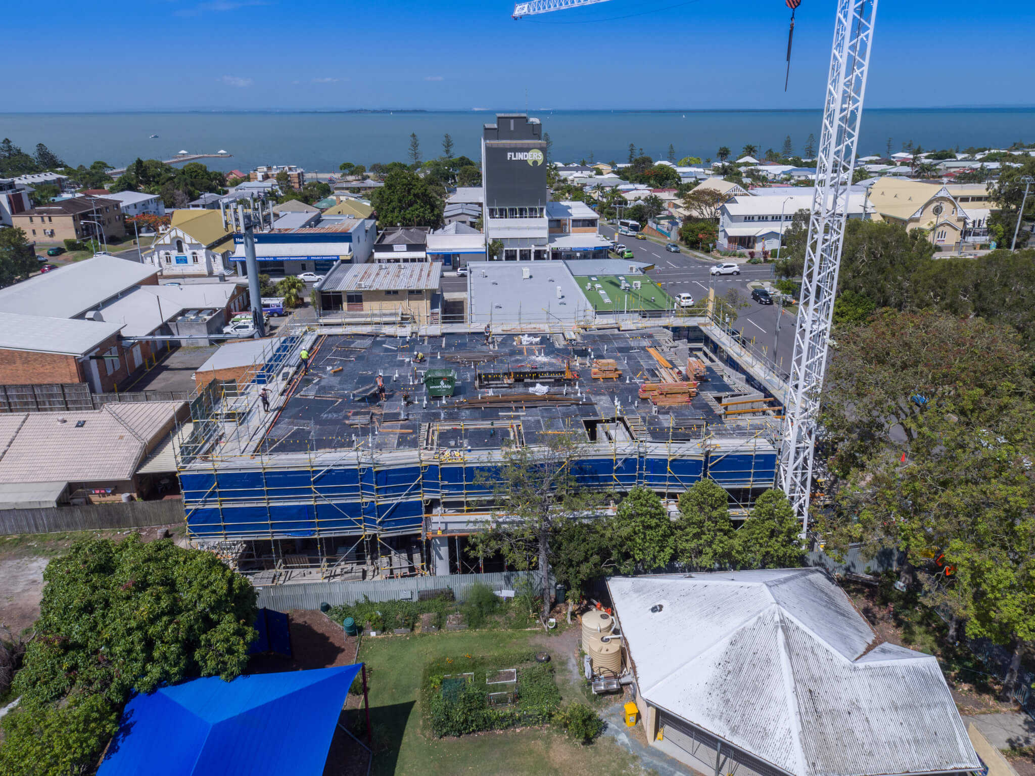
Essential Construction Progress Shots Used to Provide Investor Updates Such as Buildings Delivered by Unmanned Aerial Vehicles (UAVs)
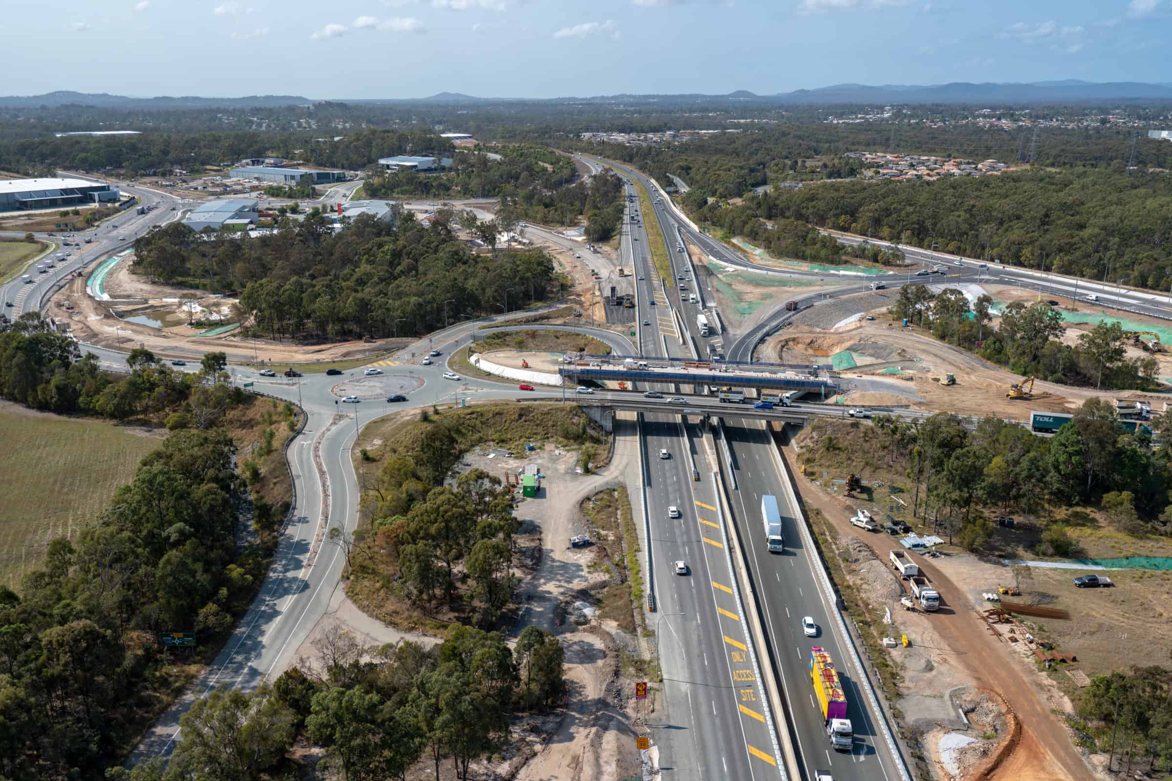
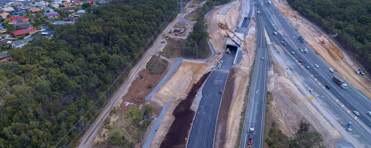
October 25, 2018Using UAVs for Cheaper, Faster, and Safer Construction Reporting on Large Infrastructure Projects
Using manpower for physical inspection and construction reporting for large infrastructure projects (roads) will eventually come to its end. People will be safe from height and depths when tasked to check on projects that require expert evaluation. Exposures to the harmful elements of nature, toxic substances, radioactive contaminants are some of the more dangerous incidents that could happen to workers when assigned to gather information on the site.
Unmanned Aerial Vehicles (UAVs) will solve these concerns regarding safety that is operated from a secured distance away from life-threatening scenarios. The flying drones can do the job on the sites that are precarious to humans.
Aerial Drones as Automated Machine Guidance for Precision and Accuracy
Construction reporting for large infrastructure projects (roads) is essential to the budget of highway engineers and the business people behind it. To be more accurate and precise of the road detailed costs, builders employ the services of the Automated Machine Guidance (AMG) instruments. Adding a few millimetres of pavement layer on the road project could result to hundreds of thousands of dollars in material and labor expense.
AMG tools can deliver precise data to save on cost and overhead expenses. One of these machines used to gather and evaluate data are the flying drones. Construction managers turn to the UAVs for the long stretch of roads to monitor and gather data. The use of the flying drones saves a lot of time and money. The UAVs improve safety and the quality of information it captures through its high definition cameras.
UAVs for Pre-Construction Surveys Boosts Topographic Documentation
Civil Engineers agree that using UAVs improved the job on surveying. Construction reporting for large infrastructure projects (roads), captured by the aerial drones and sent to the ground operators via GIS software or Computer Aided Design (CAD), proved very effective.
A drone company equips its drones with programs, cameras, and sensors to gather, store, evaluate, and send information to its controllers on the ground. The analysis of a terrain by the UAVs can produce a three-dimensional image for easy evaluation and decision making of the project’s direction and action planning. The drones will generate 3D imaging that relays the topographical imagery of the surface of the earth the road will cut across during construction. The UAV will capture the uneven surface of the earth essential to the construction reporting for large infrastructure projects (roads). Builders, engineers, and designers utilise the drones as a surveying instrument that floats 200 ft above the ground. These tools can take a wide area for its evaluation and analysis making it easy for managers to work on their jobs.

Aerial Drones Used on the Planning Stage of the Large Scale Road Construction Project
After the data gathering and analysis captured by the UAV on photos and videos comes the planning stage. The stage is where the calculation of the gathered information takes place like the geometric distances, volumes, and areas where the project crosses.
Construction Managers get more projects with the bidding system when they employ the services of the flying surveying machine. For example, a construction company made a bid on a road project calculated for completion in three years time, shortening it by a year. The firm got the project when it made its bid to finish the project for only two years. The bid will save the government a year of labor and supplies on the road construction. The achievement was through the use of an aerial drone in construction reporting for large infrastructure projects (roads).
UAVs Progress Documentation Improves Quality and Accuracy of the Project
As the work moves along, the services in construction reporting for large infrastructure projects (roads) gets intensive and the requirement of regular monitoring flights become a necessity. Project managers will need the continuous supply of data regarding the work progress. Drones will deliver the following information to the ground operators for the project manager data evaluation:
- Images and data with timestamps for every flight
- Materials delivery and Installation
- Dimensions for project excavations of foundations and trenches.
- Compact and Density Testing data on surfaces and lifts.
Material Management Monitoring for Project Managers
Construction engineers and managers can monitor the progress of materials delivered and its installation to the site project. Information such as the accuracy of the volume of materials delivered and filled across the site, data converted from AMG instruments and transported to software programs on the ground, and other data useful to construction managers.
Flying Drones for the Finished Work Survey
The completion of work and aerial photos and panoramic videos is an essential reporting tool performed by the ground operators using the UAV. The presentation of the completed road project is available in breathtaking views that will satisfy the project owners.
The UAV technology is the future of the construction industry. Engineers will have their sites on these tools as part of the automated machine guidance instrumentation tools.
Visit our website at https://droneworxs.com.au/ to learn more about our products and services.
Call us at +61 488 033 938 for more information.
Or you can send an email to droneworxs@gmail.com

