Drone Mapping Services: What are they?
December 12, 2017
Drones, a simplified way of getting job done
December 14, 2017Drones are slowly becoming a thing in most parts of the world today. From big budgets movies in Hollywood to Music videos in South Africa and the popular ads for tourists in Dubai, it is safe to say that the entertainment industry is now relying on drones to get a lot of things done. That’s not all; one of the most common areas drones are used in is real estate.
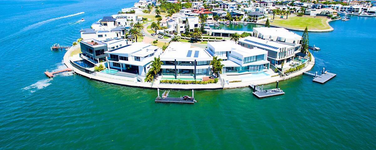
Using drones for real estate is gradually becoming a thing, especially in the United States of America where a drone could be used to take photos of an entire estate for various purposes.
One of these purposes is image mapping for geolocation devices and platforms or simply for social media if the estate has a page. Using drones for real estate captures a wider (or panoramic) view of meetups, picnics, and hangouts in an estate. Another thing I noticed is that drones are being used in car parks to prevent car theft and breaking & entering into vehicles.
Using Drones for real estate also makes it easier for an entire estate to be surveyed before and after the houses are built. These drones are flown as high in the sky as possible to capture data as geo-referenced digital aerial images with high/sharp resolutions. You can collect thousands of data in a short flight by using survey-grade drones like the eBee RTK and Helicopter drones.
You won’t believe everyone one is using drones for real estate for this reason, but Drones are also used to stop trespassers from vandalizing a store or products in an estate.
Another thing drones are used for Real estates are for security. Most of the modern drones being manufactured today have surveillance cameras attached to them. In fact, it’s safe to say that all modern drones come with surveillance cameras because there is no way you can pilot a drone properly from along a huge distance without knowing where the drone is going or seeing what it sees.
So, most drones, especially the quiet Police drones but they have a disadvantage – Police drones cannot map the human face like an average human would. Instead, they can only sense heat (or thermal mapping) and topographical mapping.
Using drones for real estate, especially security drones like the police drones helps with Traffic control and monitoring of unusual activities in the estate.
What do these things have in common? Using Drones for Real Estate saves a lot of time and covers a large piece of land in terms of reach and height. This is why drones are mainly used now, although, there are a few drones in the world today and these few are mostly used by large organizations (not individuals), but there will be more drones in the future to make life easier.
Another thing worth mentioning is that most estates with farms heavily rely on drones to water and fertilise the crops. Some drone owners and pilots go as far as using the drones as a surveillance system for the farm, especially if it’s a big farm.

