Drone Asset Inspections: An Overview
January 25, 2018
The Future of Commercial UAVs
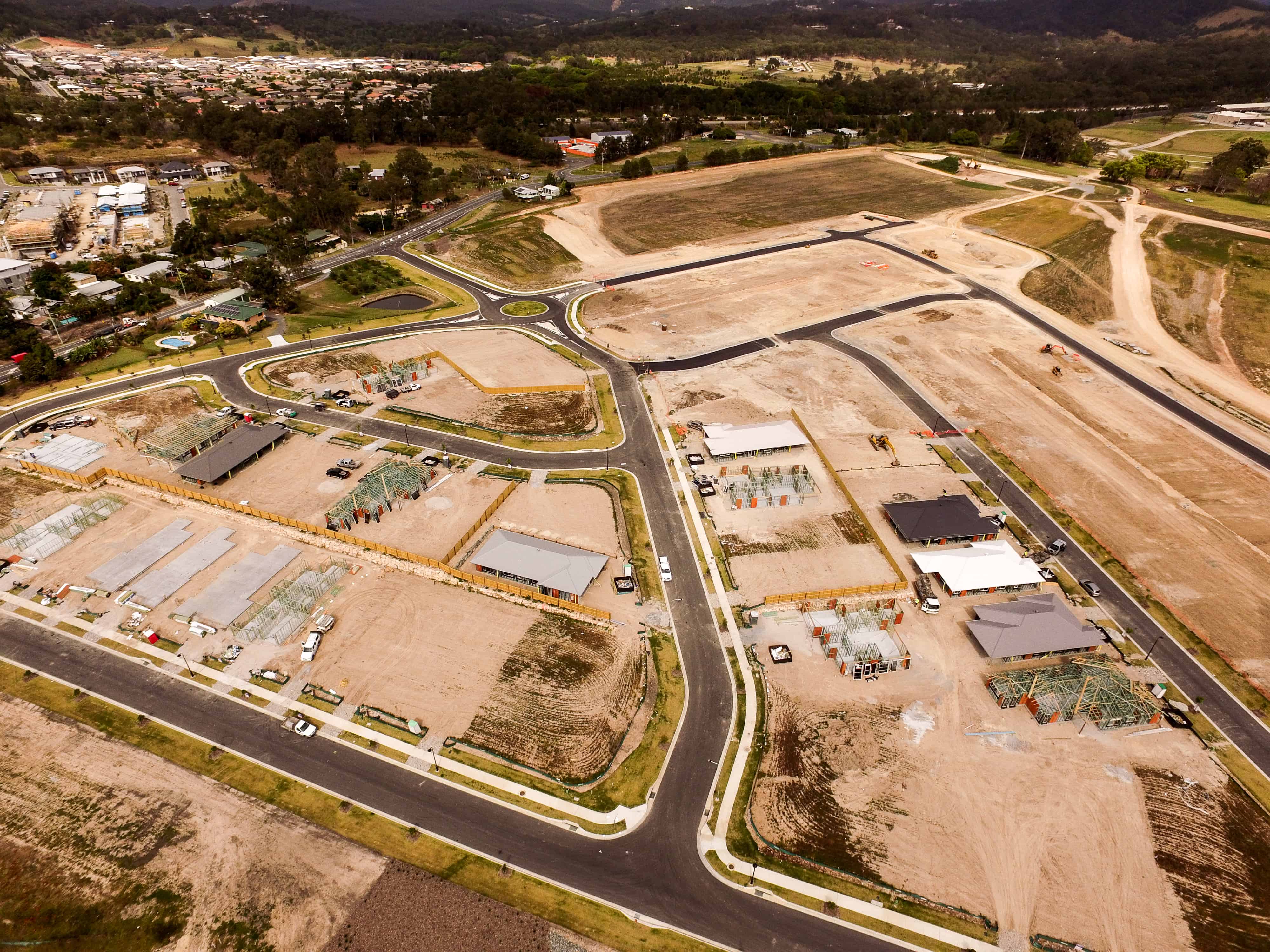
January 29, 2018UAV mapping is the use of a UAV (Unmanned Aerial Vehicle) or drone as they’re more commonly known, to map a small area and collect highly detailed data. The advantages of using drones over traditional aerial imagery are numerous, some of which we’ll look at in this article. Find out what you need to know about UAV mapping here.
The Benefits of UAV Mapping
There are several benefits of using UAVs for mapping over other forms:
- Timing – Where time is of the essence, UAV mapping provides the ability to quickly and easily collect the data of a small area, enabling a much faster and more informed decision making process. In addition, the one-manned operation of a UAV makes mapping more efficient, as controllers can quickly be dispatched to the area where they’re needed.
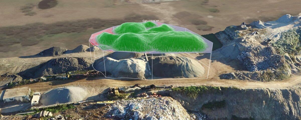
- Data accuracy – drones for mapping are equipped with technology including RTK and collect accurate data that can be used for calculating volumes, distances and grades, in addition to creating reports and other data analysis as required.
- Portability – drones are compact and easily transported, making it easy to get them close to the area that needs to be mapped.
- Data processing – the data collecting during UAV mapping can be quickly and automatically processed, allowing for faster data consumption and ultimately, an end product delivery in a short amount of time.
- Weather conditions – UAVs operate below cloud level so their use is much less dependant on weather conditions than other forms of aerial mapping.
UAV Mapping from Droneworxs
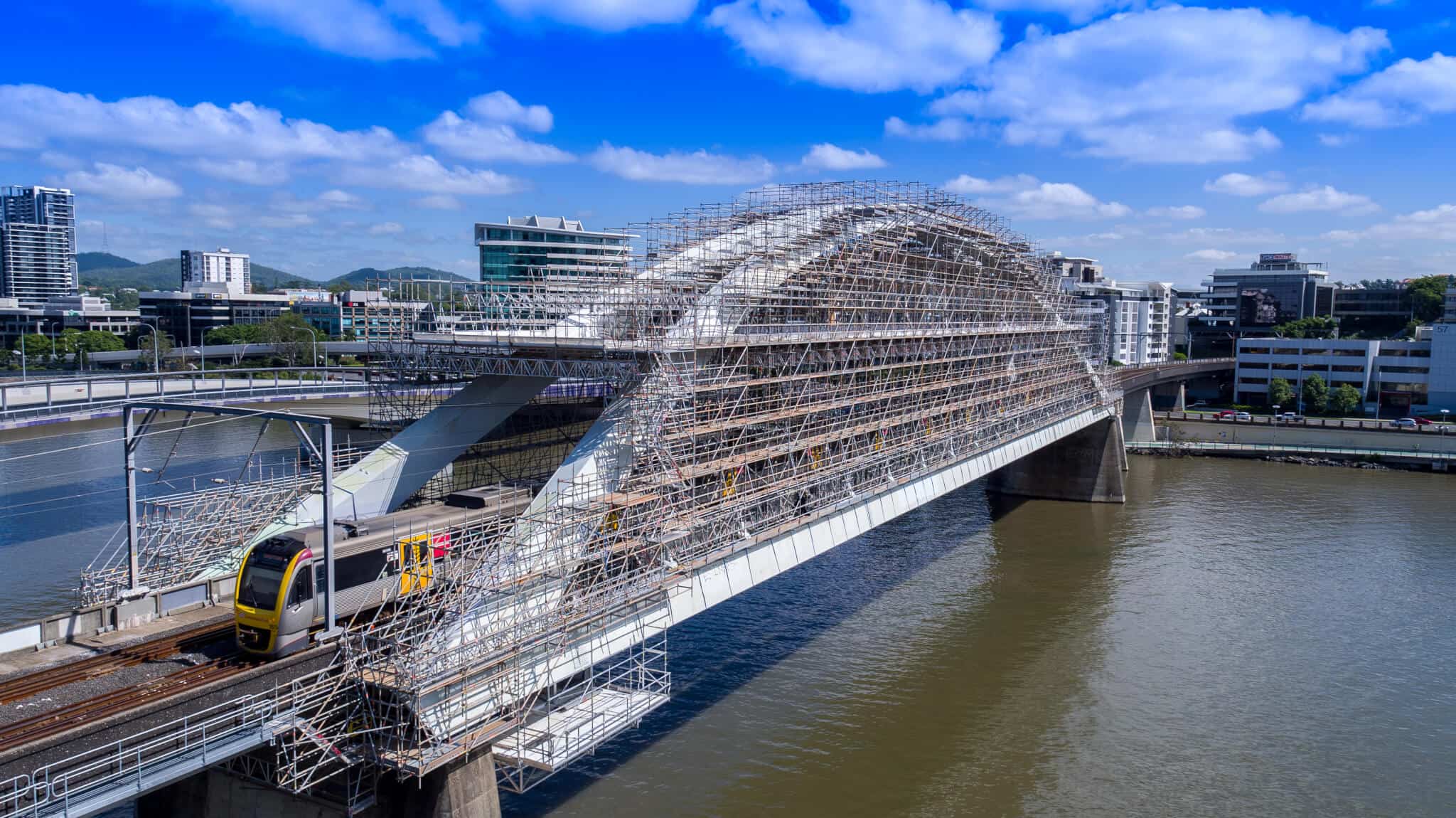
At Droneworxs our UAV mapping services are designed to make inspecting difficult to reach or hazardous assets fast, safe and thorough. The data we capture can be used to make timely and informed decisions, while our dedicated portal makes sharing that data with the right people easy.
Take a look at some of our previous UAV asset inspections to see what we’re capable of, then call +61 488 033 938 to discuss your requirements.

