Blog

January 30, 2018

What is Drone Mapping?

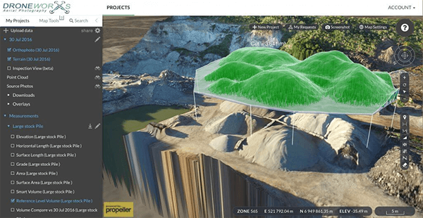
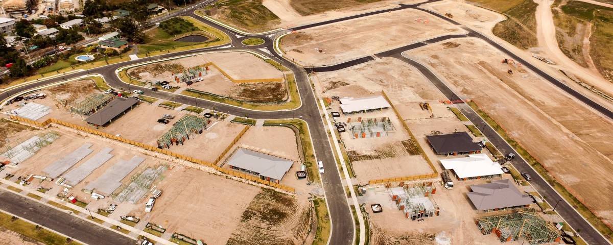
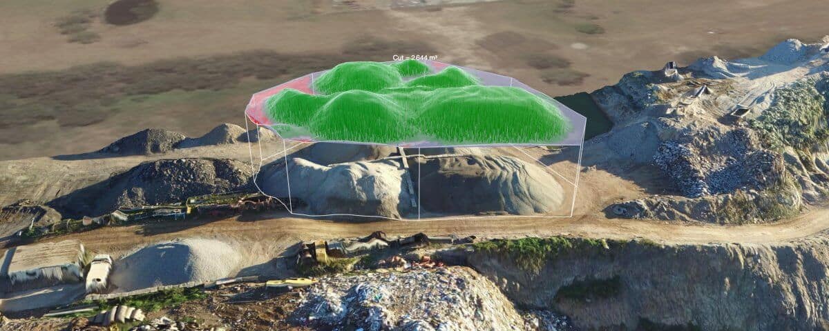
Drones are revolutionising the aerial mapping industry with their ability to accurately capture a huge amount of data efficiently and with ease. Rather than having to rely on aircraft, UAVs provide a portable, manoeuvrable alternative that is not only cheaper but provides higher resolution photography too. So, how does mapping with drones work? How Drone Mapping Works Drones use a technique called photogrammetry to take measurements from photographs. Throughout the flight – the path of which is pre-programmed to ensure complete coverage of the required area – the drone takes a photograph every few seconds. When all the photos have been taken, the mapping software automatically stitches them all together, creating a complete map of the area. These measurements are highly accurate and so can be reliably transferred to the blueprint of a building, for example. Aerial mapping allows you to survey a specific area or landscape and produce a complex map, from which we can take measurements, calculate volumes and create models for use in architecture, surveying, mining and many other industries. Other Benefits to Drone Mapping In addition to the processing of complex data, mapping with drones has other practical benefits. There is practically no manual labour involved […]
January 29, 2018

The Future of Commercial UAVs

When commercial UAVs were first invented, there was no foretelling of the massive impact they would have on all the industries they have: real estate, insurance, surveying, architecture, construction, small shipments and mining to name but a few. So what does the future of commercial UAVs have in store? Where Drones Will Have the Biggest Impact It’s expected that commercial UAVs will grow in three main areas: shipments, surveillance and commercial. Shipments Drones are already used to carry small parcels and shipments; Amazon famously announced (pun unintended!) their Prime Air scheme a couple of years ago. It may be out of the ordinary now, but in a few years shipments by drone will be much more common. There are numerous benefits to using drones for shipments, including environmental considerations, efficiency, safety, cost savings and convenience. Commercial UAVs Commercial drones are different from conventional drones because they are used for more than leisure. Commercial UAVs must be lighter, airborne for longer and much better equipped than recreational drones. The entire market of UAVs, and businesses that will use them to provide a variety of services, will grow exponentially over the next 5 years. Surveillance Governments and security agencies are always looking […]
January 26, 2018

A Quick Guide to UAV Mapping

UAV mapping is the use of a UAV (Unmanned Aerial Vehicle) or drone as they’re more commonly known, to map a small area and collect highly detailed data. The advantages of using drones over traditional aerial imagery are numerous, some of which we’ll look at in this article. Find out what you need to know about UAV mapping here. The Benefits of UAV Mapping There are several benefits of using UAVs for mapping over other forms: Timing – Where time is of the essence, UAV mapping provides the ability to quickly and easily collect the data of a small area, enabling a much faster and more informed decision making process. In addition, the one-manned operation of a UAV makes mapping more efficient, as controllers can quickly be dispatched to the area where they’re needed. Data accuracy – drones for mapping are equipped with technology including RTK and collect accurate data that can be used for calculating volumes, distances and grades, in addition to creating reports and other data analysis as required. Portability – drones are compact and easily transported, making it easy to get them close to the area that needs to be mapped. Data processing – the data collecting […]