Blog

December 8, 2017

Drone Photography Brisbane: Rules and Conditions of Operation

Brisbane, Australia has become a hotbed for drone activities just like most parts of the world. The recent leap in technological advancements in unmanned aircrafts or drones as seen it included in most operations carried out within the Queensland capital. Drone photography in Brisbane is one of such new ventures hobbyists and businesses in the region offer. Several UAVs have been deployed to capture captivating aerial photographs of both landscape and properties in the city of Brisbane. One of such reasons is due to the affordability of this service. Using drones for photography in Brisbane has changed the way people interact with the environment which is why many news and online platforms have written extensive articles on how drones are improving the world and activities taking place in Brisbane seem to confirm this fact. Operation of drones in Brisbane, Australia is entirely legal however would-be pilots, and experienced pilots have laid down rules and conditions of operation. The Civil Aviation Safety Authority (CASA) the body responsible for regulating civil aviation in Brisbane and Australia as a whole in 2016 amended the terms of operation to include private individuals who wish to operate as drone pilots commercially must adhere to. CASA […]
December 7, 2017

Drone and Aerial Mapping, an inseparable duo

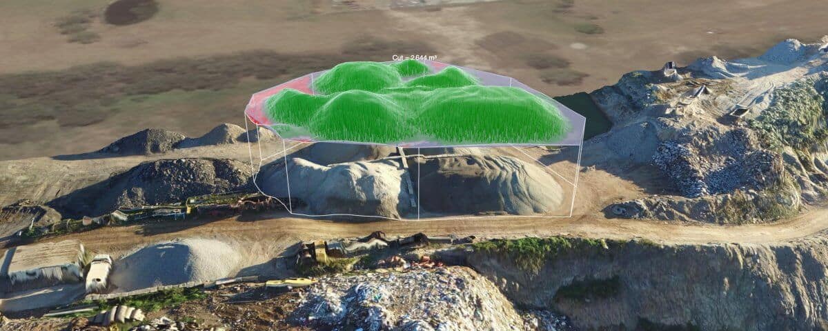
Once upon a time, drones used to be just that remote-controlled aircraft that didn’t have much use or relevance. However, times have changed, and tides have turned. This simple but effective aerial vehicle has fought its way to reckoning. For some, especially those who do not know it’s worth or how drones can be deployed and employed, drones are luxuries. However, to a more significant number of people, especially those who have applied it in photography or aerial mapping, it is a necessity. Imagine a photographer or cameraman who is entrusted with the task of viewing an object from a very tall height. That’s a huge task, isn’t it? Not to worry because, with drones, you wouldn’t have to break a sweat. Drone and its increasing use of aerial mapping Aerial mapping is just another name for surveying. As explained earlier, drones help us to cover a distance that would ordinarily be more difficult without them. They help us to reach a trajectory we wouldn’t have been able to reach and most importantly, they also help us to appreciate the beauty of nature more and more. However, despite the superlatives, not all drones are suitable for this purpose. Just as […]
December 6, 2017

Why You Should Use Drones for Real Estate Photography

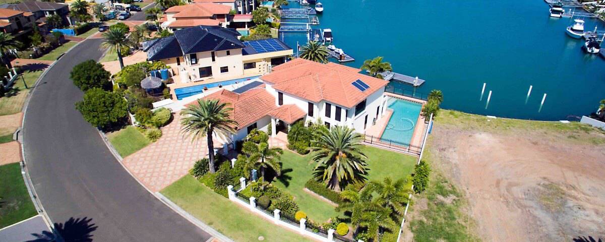
Real estate business have been booming since time immemorial, and one of the best ways to sell property is to have beautifully captured images which are going to speak to the client. This is why real estate photography has taken a whole new route. These days’ drones are being used for real estate photography and here’s why you should use them too. Give clients the WOW factor Using drones for real estate photography hasn’t become a norm so if you decide to get started in this business you would most likely be among the first set of people to offer this service. You can take advantage of the unique display captured images would have and give your clients that wow factor that comes with a next-gen technology. This would in no small way boost your marketing campaign.  Affordable elevated imagery If you plan to capture mind-blowing elevated images of the real estate you plan on putting on the market without burning a hole in your pocket, then drones can be what you need. These little gadgets can assist you with getting the work done at significantly lower rates than you’d typically spend on the more traditional methods such as using […]