Blog

December 13, 2017

Using Drones for Real Estate

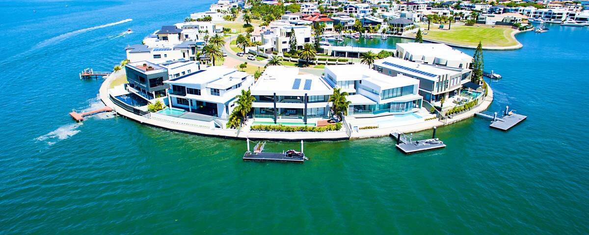
Drones are slowly becoming a thing in most parts of the world today. From big budgets movies in Hollywood to Music videos in South Africa and the popular ads for tourists in Dubai, it is safe to say that the entertainment industry is now relying on drones to get a lot of things done. That’s not all; one of the most common areas drones are used in is real estate. Using drones for real estate is gradually becoming a thing, especially in the United States of America where a drone could be used to take photos of an entire estate for various purposes. One of these purposes is image mapping for geolocation devices and platforms or simply for social media if the estate has a page. Using drones for real estate captures a wider (or panoramic) view of meetups, picnics, and hangouts in an estate. Another thing I noticed is that drones are being used in car parks to prevent car theft and breaking & entering into vehicles. Using Drones for real estate also makes it easier for an entire estate to be surveyed before and after the houses are built. These drones are flown as high in the sky […]
December 12, 2017

Drone Mapping Services: What are they? 

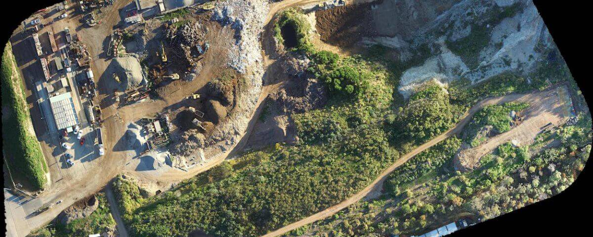
Why use drones for mapping It’s the 21st century, and drones are a thing. UAVs have taken over and have been put to use in different spheres of our day to day life including parcel delivery, media briefing, and event coverage. This has given way to the creation of software which can do more than the ordinary, one of which is the 3D mapping software. This software is used to create stunning 3D models of buildings, objects, and surroundings. They work perfectly with elevation models and capturing orthographic photos. 3D Mapping software utilizes a tech that takes out the guesswork from data analysis which would save you not only time but also money which would have been spent on carrying out surveys. Drone mapping and photogrammetry Ever heard the word photogrammetry? Yes, it’s not your Standard English word, but it does mean something to drone hobbyists and companies offering drone mapping services. Drone mapping services are carried out using a technique aptly called ‘Photogrammetry.’ As you would expect, this word means taking measurements using photographs. Photogrammetry produces an output which is like a map or a 3D representation of an environment, a scene or an object. So that you know, […]
December 11, 2017

Drone Inspection: Where to Use

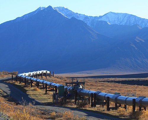
These days, drones have become visual inspection equipment which is why there have been an increase in the number of businesses and companies who opt for drone inspection seeing how efficient and budget friendly it is to get the work done. Drone inspection services are effective for inaccessible areas and tall buildings. For the record, using your drone(s) for inspection has several advantages including; You get crisp and very detailed photographs of visible defects Gives you with a quick evaluation of the problem Grants you access to areas which are inaccessible You get to set up and follow through with preventive maintenance You are guaranteed to high safety levels You get little to no downtime. Drone inspections can be used in several instances, but we would focus on three in this text. Offshore Constructions Construction areas are pretty harsh environments, and the offshore construction areas are no different. They are very demanding and can lead to several faults and even production loss during the rigorous inspection and installation process and keep these losses to a minimum is of utmost importance. Combating this loss can be carried out easily by deploying a drone. For instance, during flare inspection at an oil […]