January 8, 2018
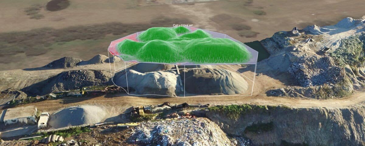
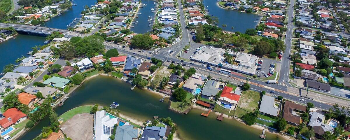
Aerial mapping is used for various applications, from determining precise geographical locations to land classification. In the past, arranging an aerial map or survey was costly because of the equipment and organisation required. Now, drones provide a revolutionary new way to conduct aerial mapping. There’s no need for a manned aircraft or satellite; a drone can provide all the information you need. Aerial Mapping Applications Aerial mapping can be used in all sorts of ways to get a bigger or clearer picture of a landscape, building or plot. For construction, aerial mapping is a great way to show clients the progress of a building – while surveyors can use the data from a drone flight for cartography, topography and more. Here are some of the ways in which drone aerial mapping can be used: Land and infrastructure surveying for urban and regional development Remote working for mines, gravel pits and construction sites Digital terrain modelling (DTM), digital elevation modelling (DEM) and volumetric analysis Embankment, dam and retaining wall inspection Archaeological surveys and excavation monitoring Geo information system (GIS) Drone Aerial Mapping from Droneworxs Droneworxs specialist drones have the ability to conduct oblique photography, 3D modelling, digital terrain modelling and more […]


