Drone Inspection: Where to Use
December 11, 2017
Using Drones for Real Estate
December 13, 2017Why use drones for mapping
It’s the 21st century, and drones are a thing. UAVs have taken over and have been put to use in different spheres of our day to day life including parcel delivery, media briefing, and event coverage. This has given way to the creation of software which can do more than the ordinary, one of which is the 3D mapping software.
This software is used to create stunning 3D models of buildings, objects, and surroundings. They work perfectly with elevation models and capturing orthographic photos.
3D Mapping software utilizes a tech that takes out the guesswork from data analysis which would save you not only time but also money which would have been spent on carrying out surveys.
Drone mapping and photogrammetry
Ever heard the word photogrammetry? Yes, it’s not your Standard English word, but it does mean something to drone hobbyists and companies offering drone mapping services.
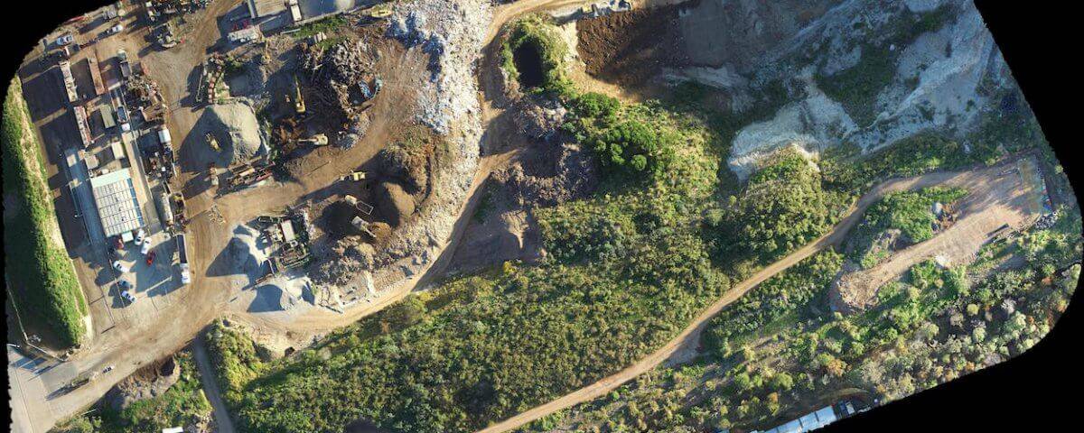
Drone mapping services are carried out using a technique aptly called ‘Photogrammetry.’ As you would expect, this word means taking measurements using photographs. Photogrammetry produces an output which is like a map or a 3D representation of an environment, a scene or an object.
So that you know, many of today’s maps are created with the science of photogrammetry usually from atop aircrafts.
Drones can be used for mapping and unlike these larger manned aircrafts; they tend to capture even higher quality images from their rounds. This is usually due to the much low altitudes they hover around to capture these images.
Getting started with drone mapping services
Data capturing
Your first step is capture data with your drone. You can mount a high-quality camera to your drone and have it face the ground vertically to capture clean, high-resolution images of the ground in multiple overlapping series. You can specify a flight path beforehand to ensure the drone flies autonomously and captures as many overlapping images as possible.
Processing images
Processing your images is where the problem usually occurs but you can either hire a pro to do this for you, or you can learn how to do it yourself using any software of your choice. Using this software you can have a complete survey of any building, land or infrastructure which would be presented in formats which are easy to manage. Many of software can accurately measure the volume, length, and area of this structure straight from the images.
Drone Mapping Services
If you need to handle your surveying project you might want to utilize the power of drone mapping to get the right measurements and a 3D graphical image. However, you might not have the required certification to operate, so you need, so you would need to hire a professional to handle the job.

